01
Charter
Cluster registration
Every cluster starts with a signed charter — producers, cooperative, local government and HFMN — that defines who does what and who gets paid when.
HFMN documents Nepal's textile geography — cluster and craft region maps for silk, handloom, wool, natural fibers and eco-tourism sites — building the national inventory of the sector.


The cluster map is not a plan drawn in a boardroom. It's an inventory we're building on the ground — village by village, cooperative by cooperative — of where Nepal's textile geography is already alive and where it's ready to be activated.
The pilots on the map below are our first anchors. Each one becomes a 10,000-ropani cluster complete with mulberry, farmer groups, cocoon collection, reeling, weaving and training — a rural silk economy in miniature.
From high-altitude wool districts to mulberry corridors — one national inventory of Nepal's textile geography.
Hill and Terai belts across all seven provinces.
Existing weaving communities integrated into national quality standards.
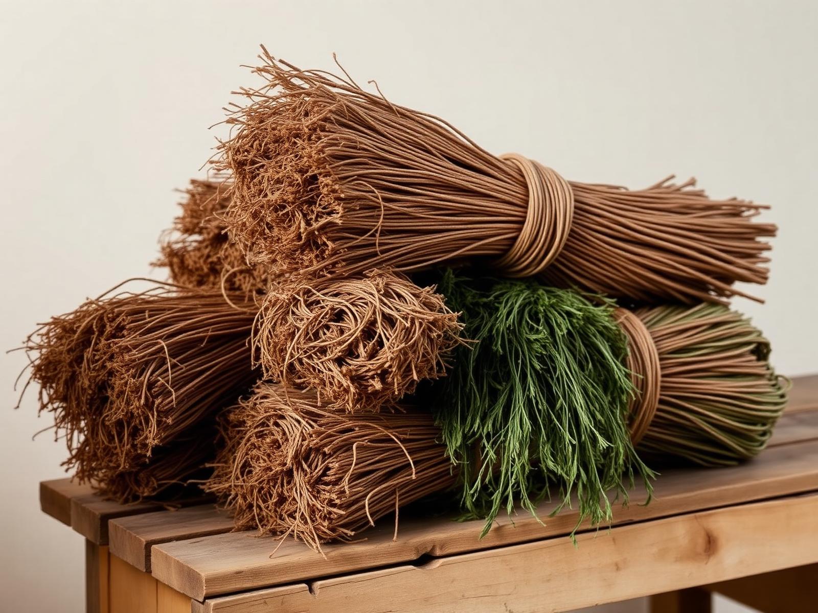
Allo, hemp, bamboo and banana collection & processing corridors.
High-altitude districts producing indigenous wool for blended textiles.
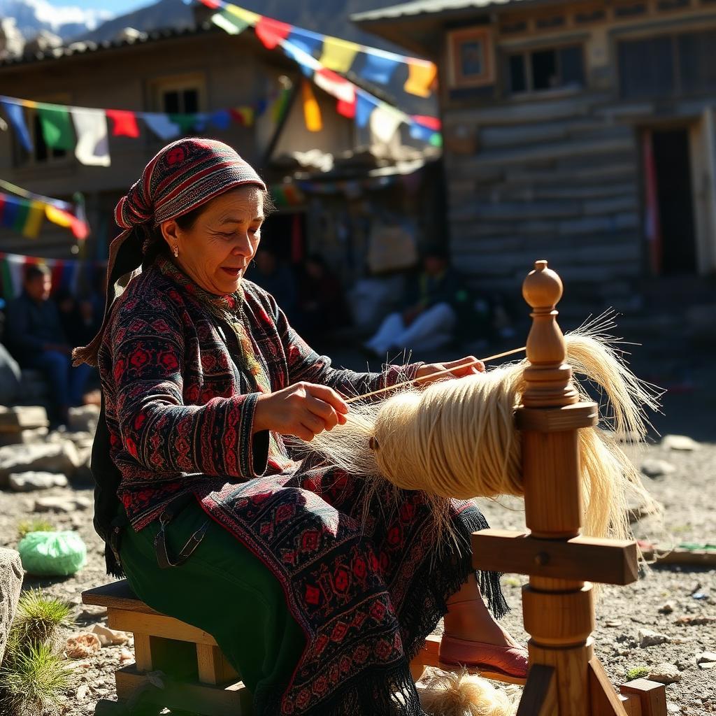
Training, R&D and demonstration sites for producer communities.

Farm-to-loom experiential circuits linked with rural tourism.
Six shared units — hover a photo or a number to see what each one does. Every HFMN cluster is built from these six components.
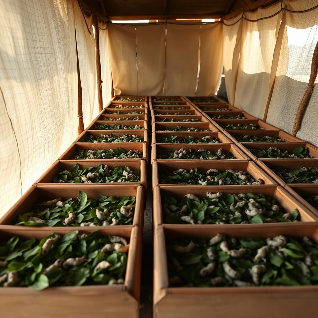
Silk-worm rearing houses close to mulberry blocks — where the cocoon crop begins.
Every cluster starts with a signed charter — producers, cooperative, local government and HFMN — that defines who does what and who gets paid when.
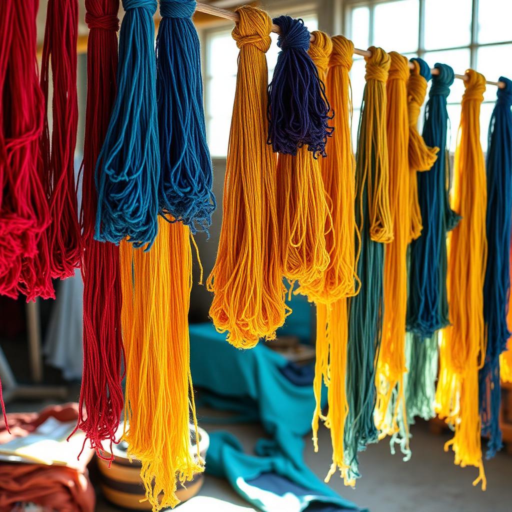
Rearing sheds, dye-houses, spinning units and finishing rooms are built as shared cooperative assets, not private capex.
Every batch leaves a cluster with a lot number the buyer can resolve back to a village, a cooperative and a producer group.
“A cluster is what a village becomes when it decides to sell together.